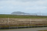
Thirty-five years after the Navy stopped disposing of toxic waste in unlined pits next to San Francisco Bay on Alameda Point’s southwest shoreline, the final actions to comply with state and federal laws are finally being implemented this year.
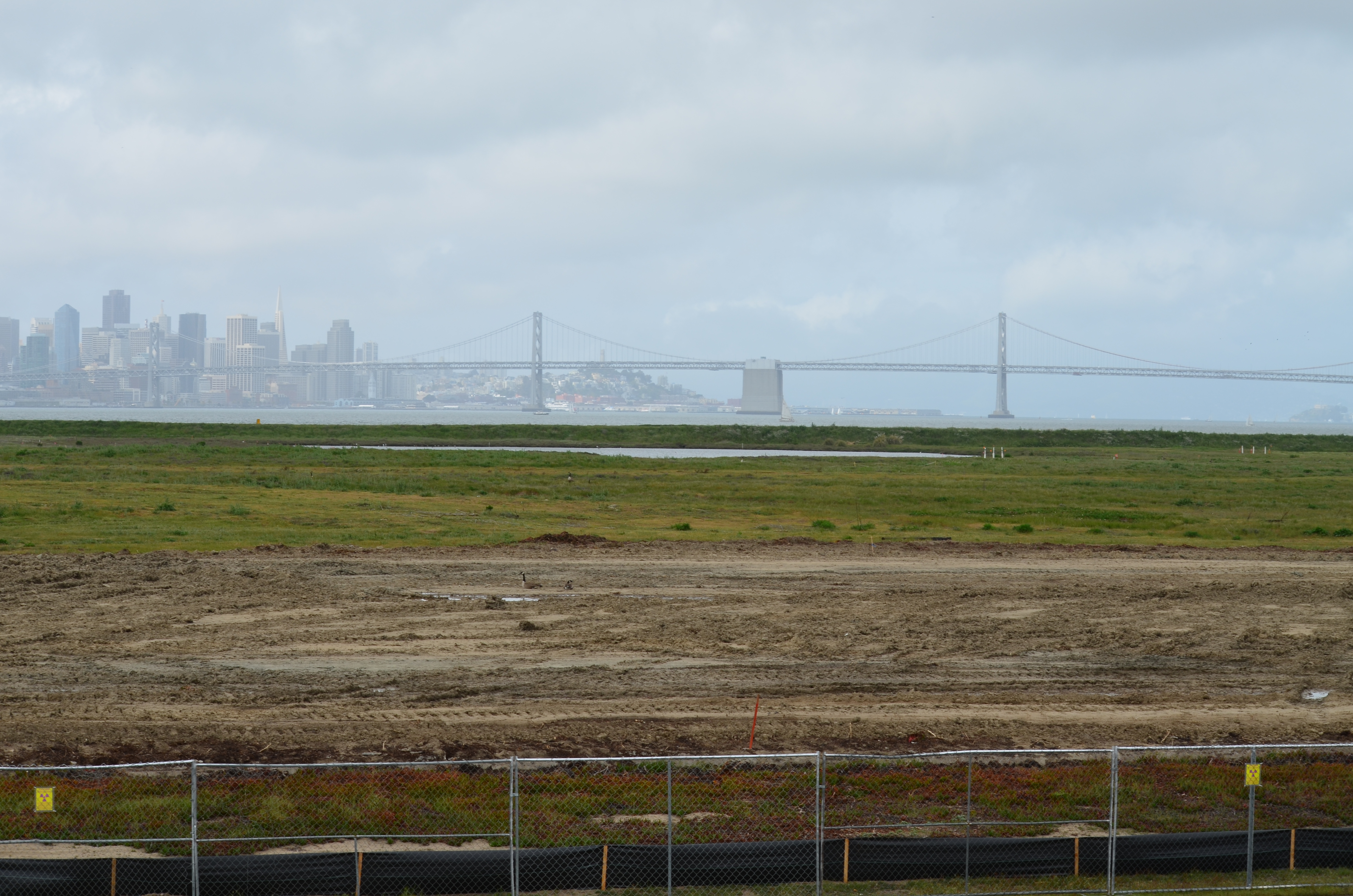
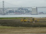
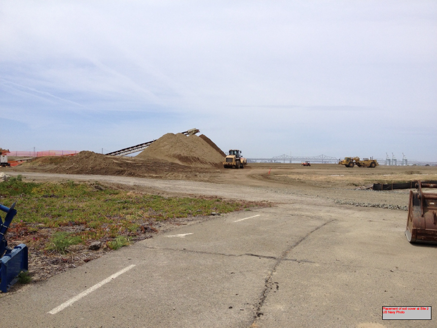
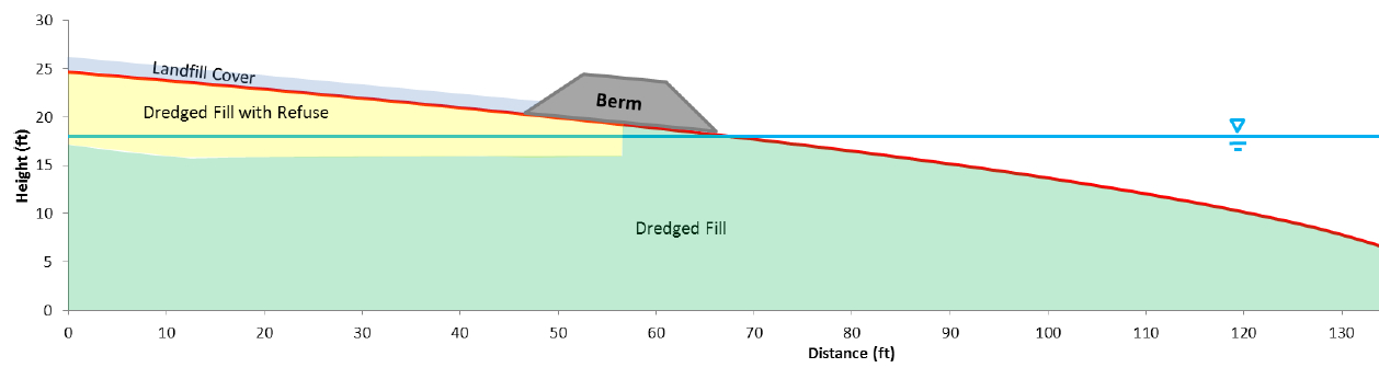
Decades of wrangling between the Navy and regulatory agencies over how to handle the West Beach Landfill, dubbed Site 2, were finally ironed out this spring. The U.S. Environmental Protection Agency (EPA), the Regional Water Quality Control Board (Water Board), and the California Department of Toxic Substances Control (DTSC) have agreed to a plan that calls for leaving the estimated 1.6 million tons of industrial waste in place and adding more soil to the existing soil cover.
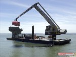
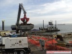
The Navy began dumping waste in the area in 1952, four years before they surrounded the area with a seawall. The dump was closed in 1978, but early efforts to comply with state environmental laws for landfill closure were not to the satisfaction of the Water Board.
In its May 2012 draft engineering work plan for the landfill, the Navy cited a decade of groundwater monitoring along the shoreline that proved the toxic chemicals of concern are not migrating toward the Bay. Instead, the chemical concentrations are either stable or declining. The contents have been sitting in water-saturated subsurface soil since the disposal program began 60 years ago.
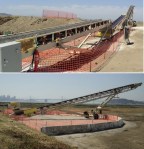
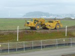
Radiological hotspots of debris and soil, including a small storage building, were removed after an earlier scan of Site 2. Before the current two feet of clean soil is put in place, the soil will again be scanned down to a depth of one foot, and elevated concentrations will be removed. Radium-226 paint waste was disposed of in the landfill.
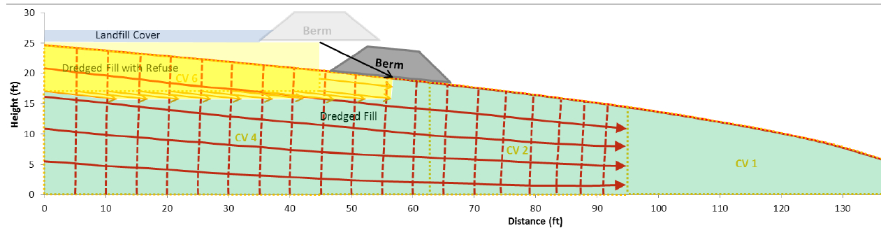
One of the major concerns about leaving this landfill in place is the consequence of a major earthquake. The Navy responded to a comment from a DTSC engineer by acknowledging that in the event of a maximum credible earthquake, the riprap boulders forming the “seawall is conservatively assumed to be non-existent, instantaneously whisked away and replaced with a 25-foot vertical face of liquefiable sand subject to plastic flow without being constrained by a rigid shell (sea wall).” The Navy’s earthquake model predicts that the earthen embankment above the seawall at the perimeter of the landfill, composed of clay and not sand, will glide into the Bay and “will not be overtopped by the waters of San Francisco Bay and freeboard of about 5 feet above mean sea level will remain, and so the refuse will remain isolated.”
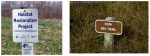
The Navy removed a perimeter security fence from their plans following objections from regulators and the public. “Navy’s design and [Superfund] requirements for this project do not preclude future use of the site for limited public access or passive recreational purposes,” said the Navy. Simple “Habitat Restoration Project” and “Stay on trail” signs were deemed adequate.
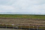
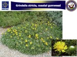
In an unusual move, the Navy offered the Restoration Advisory Board the opportunity to select the new vegetation that will anchor the 60 acres of clean soil. In the fall of 2013, the Navy will seed the new soil with 13 native grasses, most of them flowering. The Navy has permanently removed the 12-foot high embankment on the eastern, inland side of the landfill site, which will make the grassland visible from the mixed-use area.
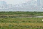
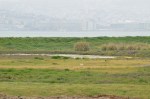
The 30-acre wetland area on Site 2 was not contaminated, but will receive improvements to the quality of several acres. The culvert connecting the wetland to San Francisco Bay will be regularly inspected and permanently protected.
Final Remedial Action Work Plan for Site 2 – Alameda Point – April 2013